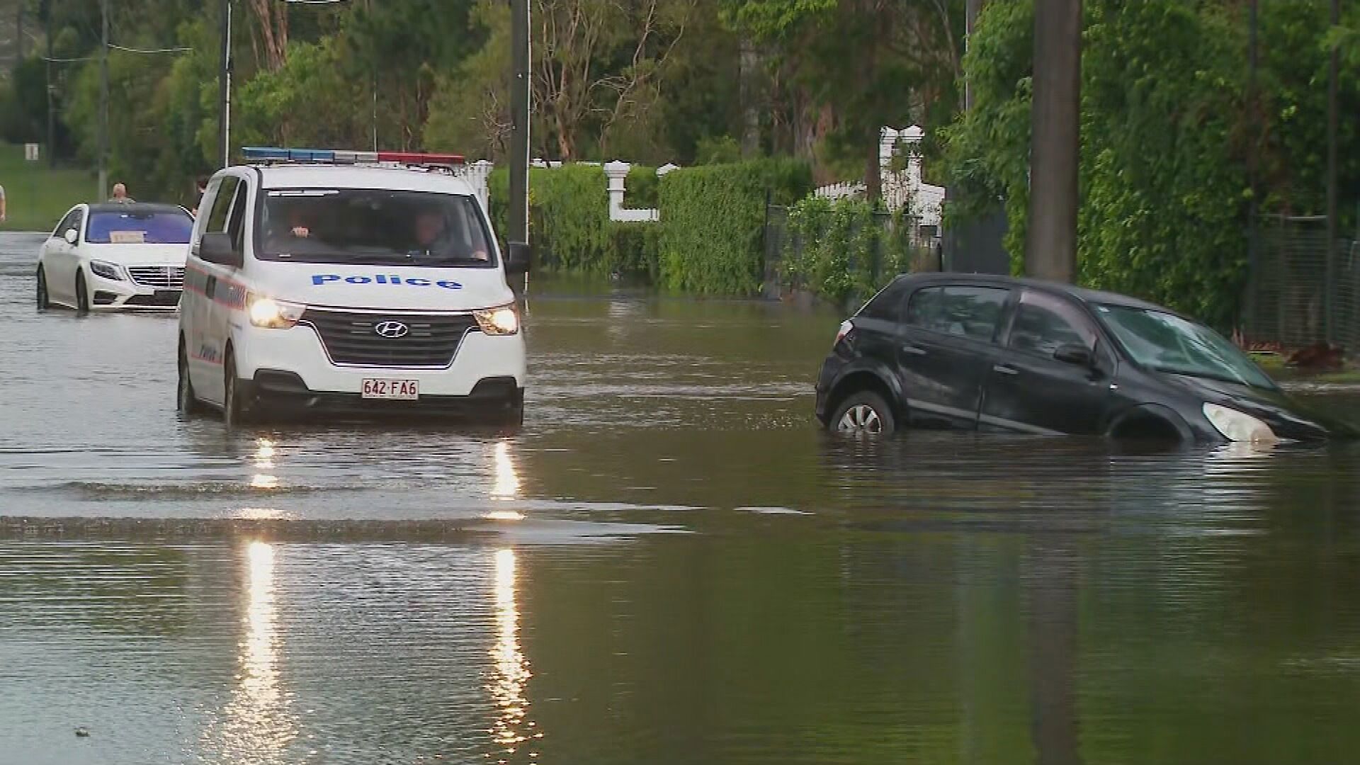
Parts of Queensland’s south-east have been swamped by torrential rain which stranded several drivers in floodwaters.
Emergency services were called to Birkdale in the city of Redland this afternoon to rescue a father and his three children trapped in their car.
Local residents came to the family’s aid first and pushed the vehicle to safety out of the water before swift water crews arrived at the scene.
READ MORE: Major search under way for missing swimmer at NSW river
Similar rescues were carried out at both Rochedale and Rocklea.
Firefighters have issued a warning to the community following the rescues.
“Follow any directions from police or any traffic control on site,” Queensland Fire and Emergency Services station officer Stephen Humphreys said.
“If there’s any flooded roadways, don’t cross them – if it’s flooded, forget it.”
Cold front sweeps Australia’s east coast
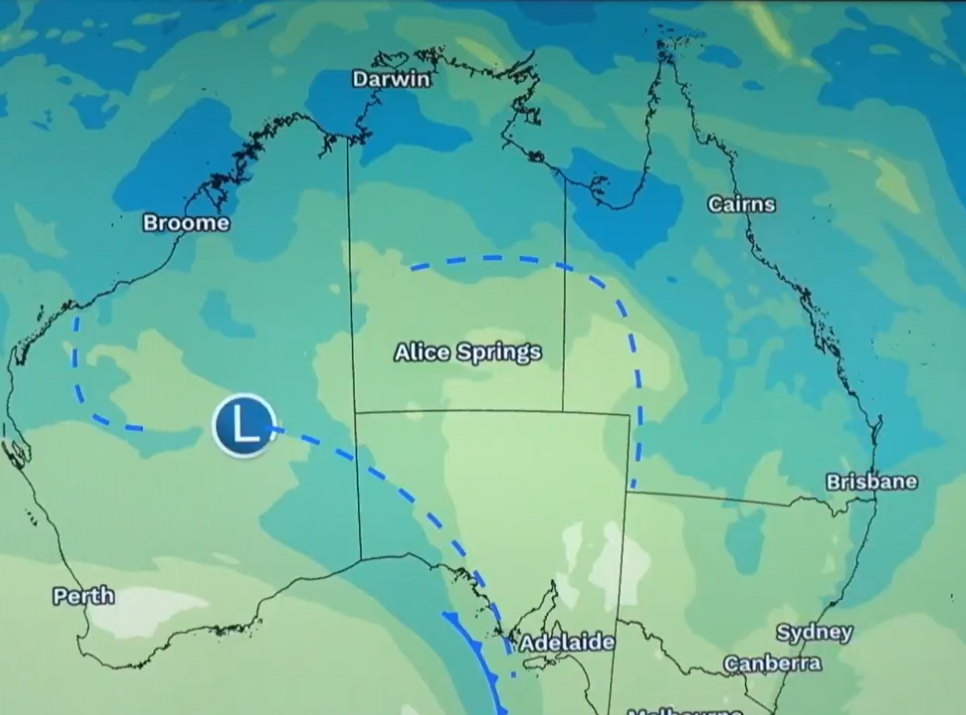
Three states on the east coast are warned to expect severe rain and damaging winds as a strong cold front makes its way over parts of Australia.
The Bureau of Meteorology issued a severe weather warning for New South Wales, Victoria and Tasmania today.
“We are expecting quite an unstable day and there is a risk of thunderstorms all the way from Melbourne through much inland New South Wales,” Bureau of Meteorology’s Jonathon How said.
It comes as the cold front moves from South Australia this afternoon to New South Wales and Victoria this evening and Tasmania tomorrow morning.
In New South Wales, western parts will be hit by the front tonight before it moves to central parts tomorrow morning.
Residents in the Southern Tablelands, South West Slopes, Riverina, Snowy Mountains and the Australian Capital Territory are warned to be prepared for six-hourly rainfall totals of 30mm to 60mm, while isolated totals up to 80mm are possible over alpine peaks.
A fire weather warning has also been issued for the NSW north western and upper central west plains fire weather districts.
Victoria is in line to also feel the cold front tonight before it travels to northeast parts of the state tomorrow morning.
Those in the North East and parts of Central, East Gippsland, Northern Country, North Central and West and South Gippsland are set to see up to 80mm of rainfall and peak gusts up to 110 km/h.
Conditions in both states are expected to ease below the warning level by late afternoon or evening tomorrow.
The cold front will then move over Tasmania’s Furneaux Islands, North East, Central North and parts of East Coast, North West Coast, Central Plateau and Midlands.
Up to 80mm of rain is forecast for some parts and gusts of up to 100 km/h.
The cold front is expected to move across the state by tomorrow afternoon, allowing conditions to ease.
Those in areas under warning are advised to avoid travel if possible, avoid dangerous hazards like floodwater, stay away from fallen powerlines and stay indoors.
In case of flash flooding, residents are urged to seek refuge at the highest place.
DOWNLOAD THE 9NEWS APP: Stay across all the latest in breaking news, sport, politics and the weather via our news app and get notifications sent straight to your smartphone. Available on the Apple App Store and Google Play.

